Earth observation is the use of various technologies in satellites, aircraft, drones, and other instruments to collect information about the Earth’s surface, atmosphere, and environment. The data collected is analyzed for the study of Earth systems such as weather patterns, climate change, ecosystems, and natural disasters. The results of data analysis can be used for many applications such as environmental monitoring, urban planning, agriculture, and disaster response. Earth observation has become a valuable tool for scientists, policymakers, and businesses to make informed decisions about the environment.
How are data collected?
The most common methods used in data collection are:
- Remote satellite sensors that orbit the Earth. These satellites use different sensors to collect data and generate images that provide information about different wavelengths, infrared, visible light, and microwaves to detect clouds, vegetation, air humidity, pollution levels, etc.
- Aerial photography. With planes or drones equipped with cameras to capture high-resolution images. This technique is used to make maps, monitor changes in nature, and monitor land use.
- Ground-based measurements that provide information about environmental conditions locally: temperature, rainfall collection, water quality. The data collected from the ground can be validated with the data obtained from the satellites.
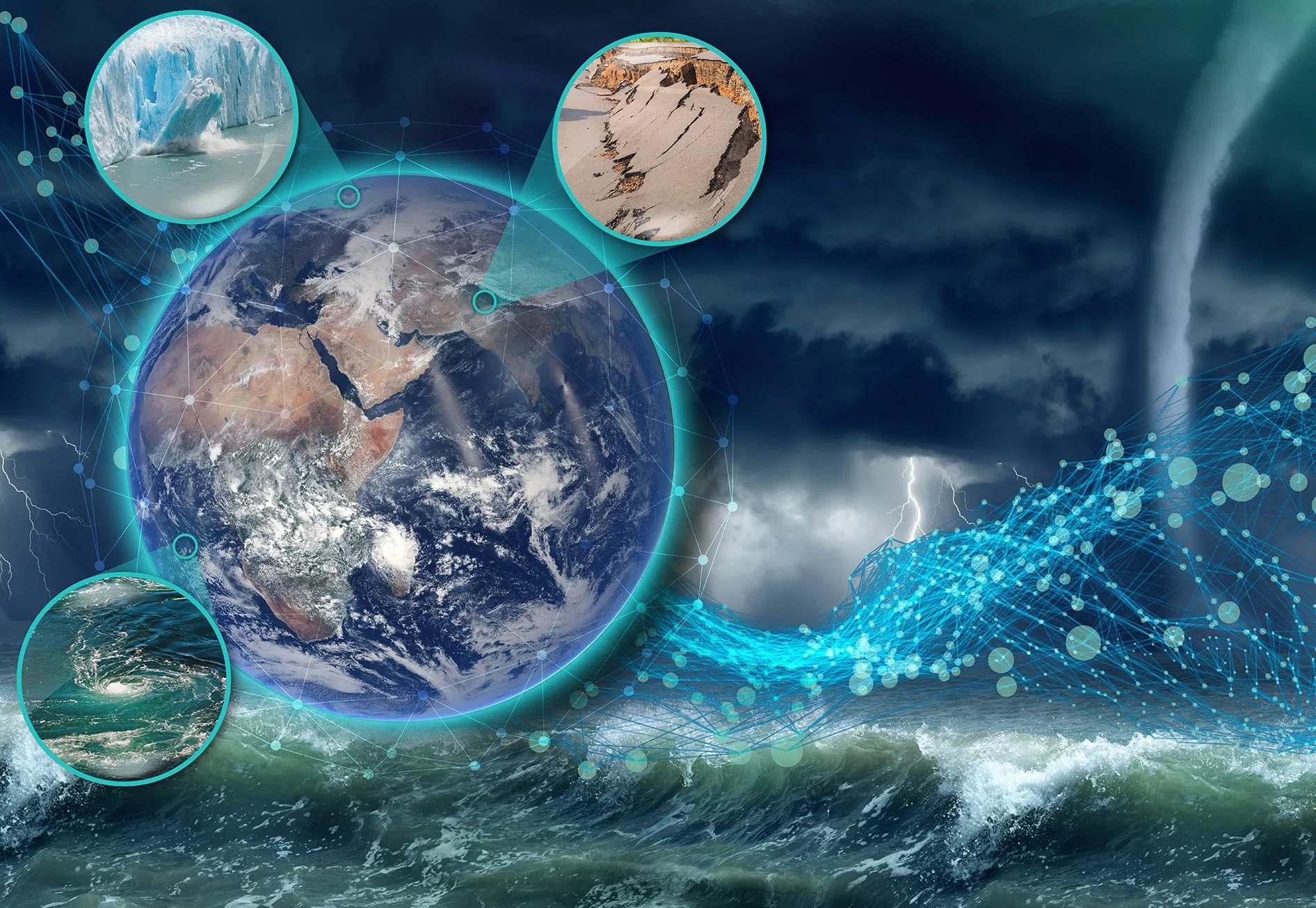
Image provided by ESA. Contains modified Copernicus Sentinel data (2022), processed by ESA, CC BY-SA 3.0 IGO
How is an algorithm for Earth observation constructed?
To build an algorithm for Earth observation, remote sensors, data analysis, and programming are needed, as well as a deep understanding of the problem being addressed. Generally, the following steps are followed:
- Define the problem to which the algorithm is directed. For example, see the changes that occur in the poles to know how they are melting.
- Data collection provided by satellite images.
- Data processing to obtain those that provide valid information and discard those that do not serve, either due to sensor noise or atmospheric interference. For example, a sky with many clouds that does not allow information.
- Identify the area being addressed. Spatially locate the place where the analysis is to be carried out.
- Algorithm development. With identified patterns and their changes over time. This is generally done with machine learning or other statistical techniques that extract relevant information.
- Validation. This is done by comparing with other independent information on the topic to verify the results.
- Implementation. The results of processing and analysis are integrated into software tools or automation and analysis systems.
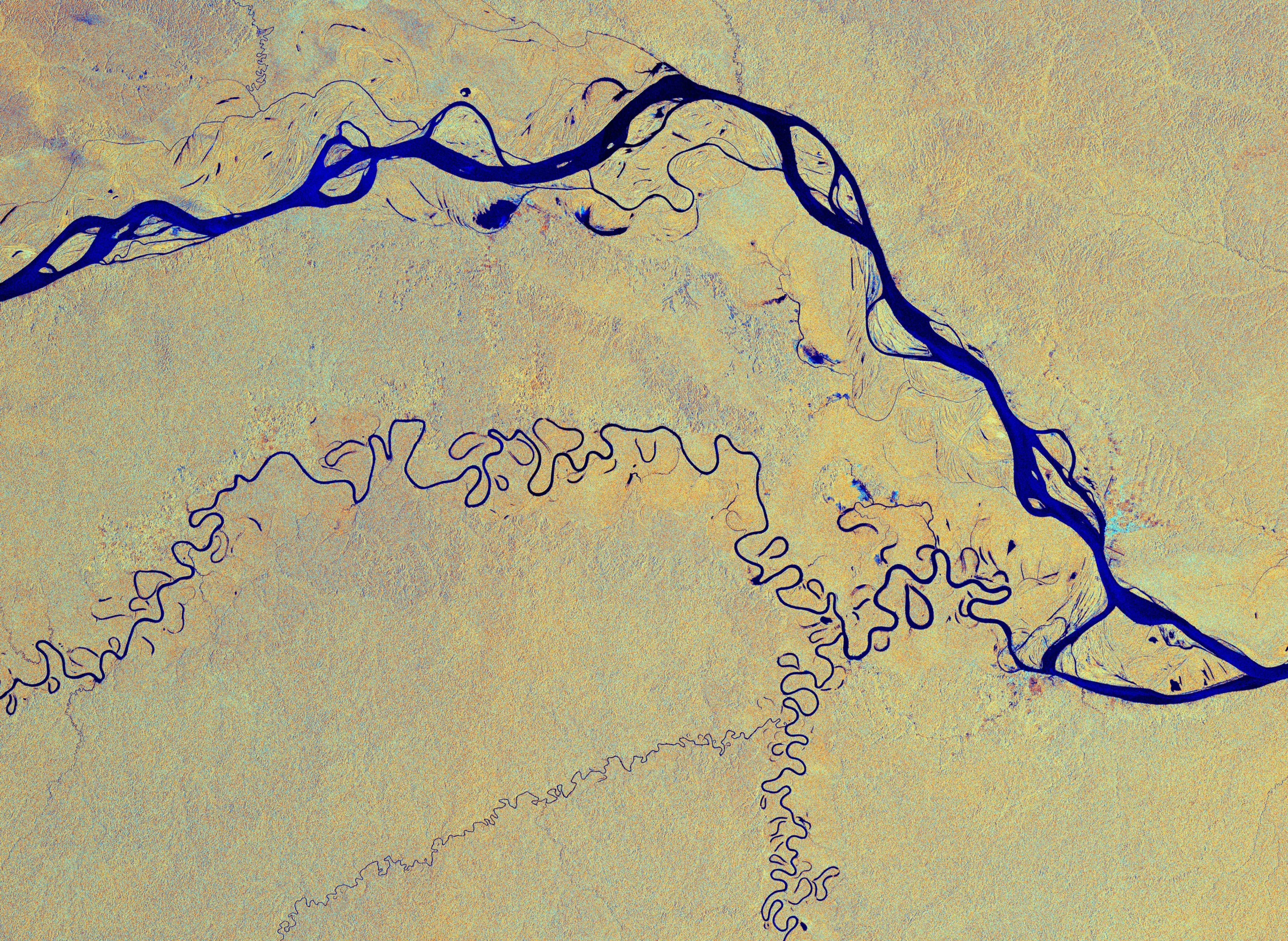
Image provided by ESA. contains modified Copernicus Sentinel data (2019), processed by ESA, CC BY-SA 3.0 IGO
What is the future of Earth observation?
It is very promising and is becoming increasingly important to solve many of the existing globalproblems. Scientific development occurs in various sectors:
- New sensors and increasingly sophisticated technologies that capture data with higher resolution and precision. Machine learning and artificial intelligence techniques are applied to obtain reliable data.
- Data processing. New techniques are needed for storing, processing, and analyzing large volumes of data to access Earth observation information.
- Integration with other sources to obtain a broader understanding of environmental problems and their impact on human populations.
- International collaboration to share acquired knowledge to support efforts and find global solutions for a sustainable world.
What does Klepsydra do regarding Earth Observation?
Earth Observation (EO) satellites require a suite of applications to perform their mission successfully. The most critical application is data acquisition and processing, which includes collecting and processing data obtained by the satellite’s sensors.
SAR sensors are a type of active remote sensing system that uses radio waves to produce images of the Earth’s surface. On the other hand, Hyperspectral cameras are imaging devices that can capture data across a broad range of electromagnetic wavelengths, including both visible and non-visible parts of the spectrum. Compared to traditional cameras that capture data across only three color channels (red, green, and blue), Hyperspectral cameras can provide a more detailed and
comprehensive view of a scene.
Klepsydra enables the processing of large volumes of data produced by SAR sensors and Hyperspectral cameras used in Earth observation satellites, using artificial intelligence techniques.